 |
| up on the climb up to Pillar. An early start today meant that I ran along the valley floor and got to about here before it was light enough to take my headtorch off. |
 |
| a bit of light |
I wanted to get a decent length run in today. I also needed to be home for 2pm so that meant that I would need an early start. There were rumours of cloud inversions but they were not to come true. Most of the run was done in cloud. Luckily, there is a wall that runs along much of the route I was taking so the navigation was easy enough. My run started at about 5.20am with the first six or so miles done in the dark. I got to Black Sail Youth Hostel and decided it was still a bit dark to be climbing up Black Sail Pass and so I sat on the toilet for ten minutes. On emerging, I picked up the track, which is fairly easy to follow and when I got to the footbridge, decided to just continue up along Sail Beck, eventually reaching the familiar fence posts. By now it was starting to get lighter and I took the track over to Pillar. Pillar looked the most promising out of the whole day for cloud inversions. When I got to the top though, it was within the cloud and so there was not a whole lot to see.
 |
| Yewbarrow and Dorehead Scree on the right |
 |
| Pillar - cloudy and bland today |
On top of Pillar, I sat in the shelter and took a compass bearing to take me over to Wind Gap. Once up at Scoat Fell, I picked up the wall which I followed for the remainder of the high level portion of the route along to Haycock, Caw Fell and around until I got to the forest (which has all been logged) and the climb up to Crag Fell. It was pretty much misty all the way but good terrain for running.
 |
| Mosedale opening up a bit, just before I reach Wind Gap |
 |
| Black Crag looking up to Scoat Fell |
 |
| Scoat Fell wall summit cairn |
 |
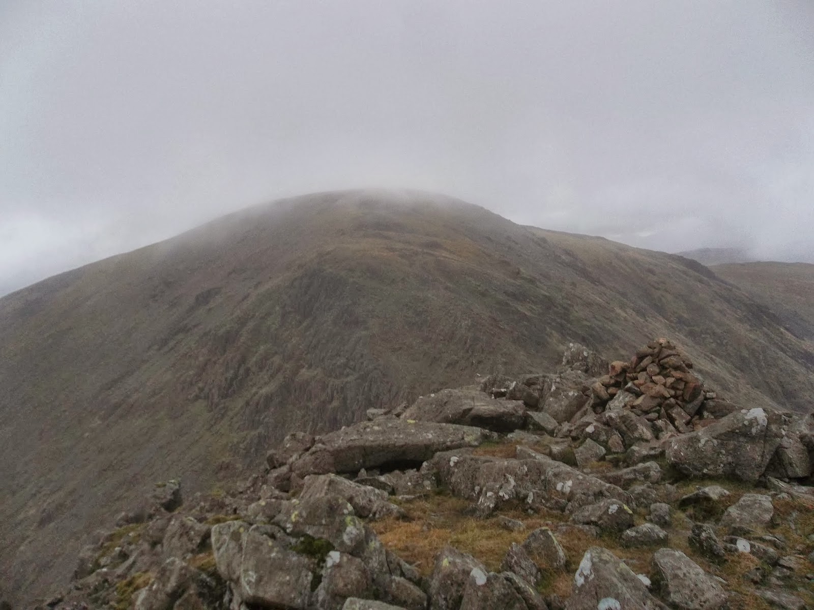
| Haycock |
 |
| scenic |
 |
| my wall |
 |
| Grike and Crag Fell ahead (on the map there is a forest there but all the tress have been chopped down). |
 |
| Crag Fell looking over to Grike |
 |
| Grike |
Grike was at the 16 mile mark. From here there is a nice downhill to Ennerdale Bridge and then I ran along the road, cutting through on a footpath to follow the shore line for the last six miles back to my car.
 |
| map with elevation data |


No comments:
Post a Comment