 |
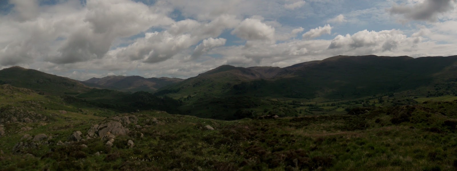
| from Buck Pike to Dow Crag |
The Duddon Horseshoe is a
LDWA route. It is described as being 19 or 20 miles with approximately 6000ft of ascent. If you manage to complete it within a 12 hour limit, you can write off to claim a badge and certificate. I've been thinking of doing this route for a while now, originally as a practice run for the
GL3D but put it to one side as I knew the GL3D would be on Northern/Central Fells so focussed my training runs on them. This is a less travelled part of the lakes for me, there is a lot of unfamiliar territory. Where as this would have previously put me off, I now enjoy the challenge of navigation. A navigation mishap, plus my decision to include Pike O' Blisco in the route added a few miles.
.jpg) |
| official route |
 |
| 23 or so miles |
I parked at Seathwaite, by The Newfield Inn and followed a signposted footpath through fields and woods, alongside a stream, across a few bridges. This was a really nice path, hard packed dirt, nice to run on.
Once across the bridge, there was a small climb out of the woods before crossing fields and ending up at
Wallobarrow Camping Barn. From here, the route climbed steeply through woods and I could see Wallowbarrow Crag ahead. I'm not sure if you are required to climb to the top of Wallowbarrow Crag as part of the official route but I did anyway. There were some lovely views from the top and I sat for a while watching some climbers come up the steep wall of the crag. After a while I headed back to the main track, had another look at a perfectly positioned dream home, and then carried on towards Grassguards.
 |
| tree house at Wallowbarrow Camping Barn |
 |
| up to Wallowbarrow Crag - first real climb of the day |
 |
| what a wonderful location for a house |
The track widens and goes through a forested area with great views over the landscape. At Grassguards, the proper route was probably to carry on straight over the ford but my plan was to include Green Crag in the route so I took a track off to the left running along the side of the river. After about 500m the track became a wide forest track with huge stacks of logs. It wasn't until I got to the end of the forest track, with no possible way through the thick forest, that I realised that this huge track was not on the map. On retracing my way back to the last point I knew where I was (good navigation tip), I found a sign pointing me in the right direction.
 |
| South West - beautiful area |
 |
| big old track - not on the map |
 |
| detail of my wrong turn. I should have continued to follow Grassguards Gill. Approximately a mile added onto the route. |
 |
| this sign wasn't that obvious! |
Once I got back on the right track, there was a very muddy mile through the woods. When I eventually got out of the other side, I looked over to Green Crag and, after some deliberation, decided not to go there and to head east up to Harter Fell summit. There was no obvious track over to Green Crag and it looked very wet. Knowing I had the best part of 20 miles ahead of me, I decided against getting my feet wet if I could help it. I climbed through the heather towards Harter Fell summit, picking up a track as I got higher.
 |
| Green Crag - will be there another day |
 |
| Harter Fell |
I met a group of women on Harter Fell, one of whom kindly took a photo of me at the trig column. I pointed out the Roman Fort remains on Hard Knott, Hard Knott Pass, some other mountains before parting ways as they found a sheltered spot for their lunch and I headed off down towards the highest point of Hardknott Pass.
This was a grassy, sometimes wet run, mostly downhill. The road crept up on me and I got there a long time before I expected to. Once at the road, I crossed and started the climb up to Hard Knott. I climbed what I thought was the summit, only to see the actual summit cairn on another hill 100 or so metres from where I was so I dropped down and climbed back up to the summit.
From the summit, I checked my next grid reference. Little Stand. I looked around and, with the confirmation of my compass, realised that there was a big climb to Little Stand.
I headed straight down from Hard Knott. The grassy descent changed to a rocky area with heather. After crossing Mosedale Beck, the ground continued to be very wet and then it was a real slog climbing up Little Stand. I got my GPS out and broke the climb into 50 metre sections, having a rest every 50 metres until I eventually reached the top.
 |
| from Hard Knott summit cairn looking over to L-R, Slight Side, Scafell, Scafell Pike, Broad Crag, Ill Crag (with the pointy bit), Great End. On the right, the triangular fell is Bowfell with Esk Pike to the left of it. |
 |
| further around Bowfell, Crinkle Crags, Stonesty Pike and Little Stand on the far right, my next checkpoint. |
 |
| Scafell Range brightens up a wet slog across Mosedale |
 |
| from Little Stand - fells on the horizon are St Sunday Crag, Helvellyn area |
Little Stand has a pretty top to it. There is a small tarn on the summit platform and a range of smaller pools just to the west (visible in the photo above). Compared with the slog down and up from Hard Knott, the next section over to Cold Pike was a breeze. I ran down a grassy trod which was at just the right gradient for a comfortable run before starting a mild climb at the top of Gaitscale Gill. From the top I could see over to Pike O' Blisco, another addition I had made to the route. I told myself that I would descend to Red Tarn and make a decision on whether or not to continue up to Pike O' Blisco from there but I had already decided to do so and didn't stop at the tarn.
 |
| Cold Pike with Pike O' Blisco to the left |
 |
| Cold Pike summit looking up the track to Crinkle Crags and Bowfell |
 |
| Pike O' Blisco (corner of Red Tarn just visible on the right) |
 |
| Pike O' Blisco has two prominent summit cairns. I visited both so as not to be in any doubt. Here from one of them looking over to Pike O' Stickle and the scree where the Neolithic stone factory is. |
 |
| Climbers on Black Crag |
There is a nice enough run down from the summit. I aimed for, what I knew to be a decent path that goes to the Three Shires Stone, my next checkpoint.
I knew that there were big crags to be aware of on the descent and when I saw a man in a helmet walking along, looking down, I thought that this was a signal to avoid the area he was in. He was actually walking along the top of Black Crag which blended quite nicely into the landscape from above!
I skirted Black Crag and then got onto the Three Shires Stone Path. I had a little rest here, checking the map and working out where my further major climbs were. The main one was up next, climbing up Wet Side Edge to Great Carrs and Swirl How. It was a manageable climb with a good footpath all the way up.
 |
| Three Shires Stone |
 |
| climbing Wet Side Edge, looking down over Wrynose Pass and the River Duddon |
 |
| up to Great Carrs and Swirl How |
 |
| from Great Carrs looking over to Swirl How on the left. Swirl How is the next checkpoint and then Dow Crag, the pointy fell middle right. |
From Swirl How, there is a relatively flat run over towards Goat's Hawse. I followed a track which skirted around Brim Fell, keeping the gradient at a runnable level until it started to climb up to Dow Crag. As I ran over, Seathwaite Tarn came into view. This is where I was when I found out I was going to be a dad for the second time (by text!) and it brought back memories. I will definitely have to bring my girls for a walk around these fells when they get a bit bigger.
 |
| Swirl How looking over to Dow Crag |
 |
| Seathwaite Tarn |
 |
| from Dow Crag looking over Goats Water to Coniston Old Man |
 |
| along to Buck Pike and Brown Pike |
 |
| Coniston Water through Dow Crag |
 |
| The Duddon Horseshoe logo depicts Buck Pike and Dow Crag. |
 |
| down to the next checkpoint, the crossing of the Walna Scar Road before the climb up to White Pike |
I had finished my water on top of Dow Crag. I estimated that the climb up to White Pike would be fairly easy and then the final climb up to Caw would be near enough to the end that I wouldn't care too much. I was correct about the climb to White Pike and I was able to run sections of this track but the climb to Caw seemed to take forever. There was a muddy cloudy pool at the top of Caw that, for a second, I considered having a drink out of but thought better of it, telling myself I would have a pint in the Newfield Inn when I finished.
 |
| White Pike looking to Caw, the final checkpoint |
 |
| Caw trig column - yeay! |
From Caw I plotted a direct route back to the car. There was some trudging through streams and climbing down rocky sections but I eventually got there. After an emergency chocolate bar, I decided I didn't want to hang around for a drink and headed straight home, stopping at a garage for a drink.
It was really nice to complete this challenge. My total time was well within the 12 hour limit despite the navigation error and additional fell I threw in for good measure which helped to take my elevation up to about 8700ft as opposed to the 6000ft on the official course. I shall be sending off for my badge and certificate and logging the three new Wainwrights I bagged enroute!


.jpg)


No comments:
Post a Comment